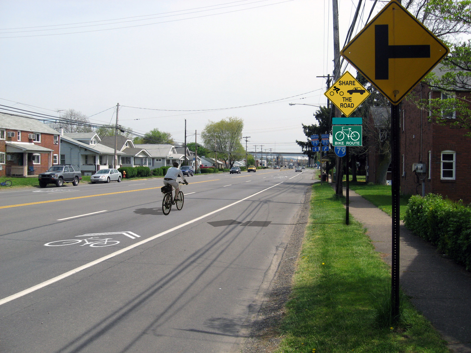
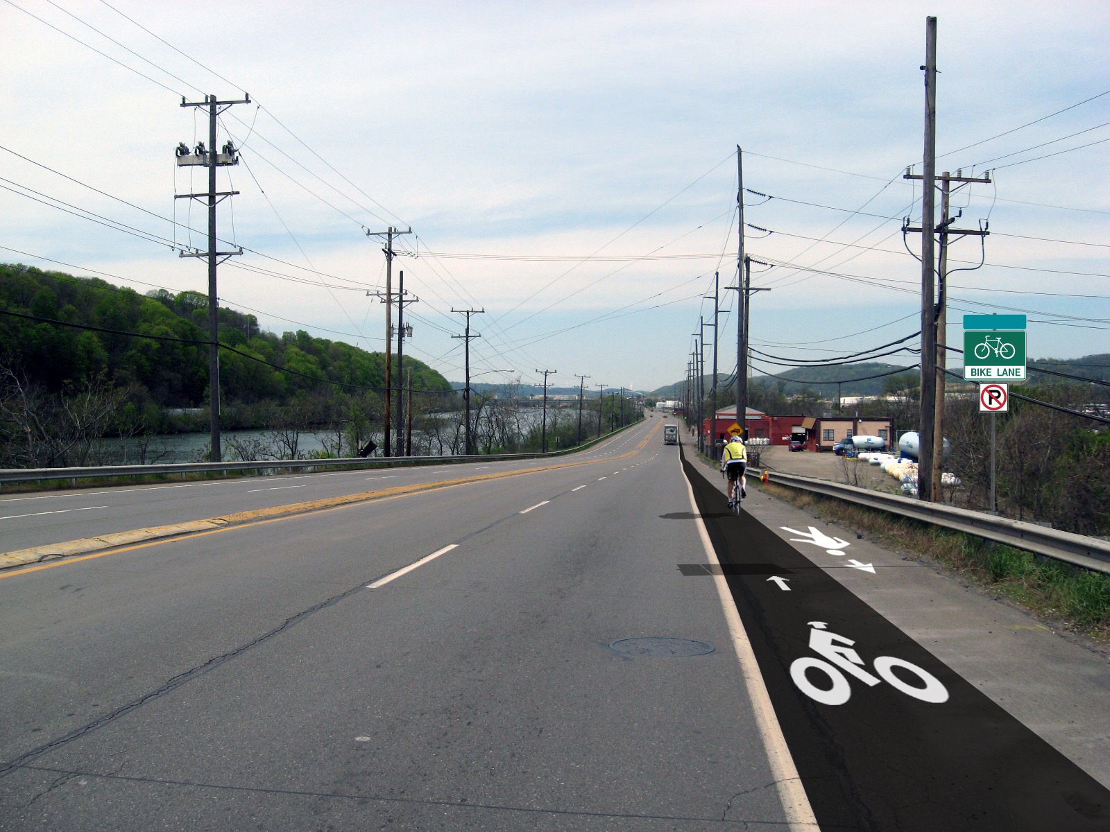
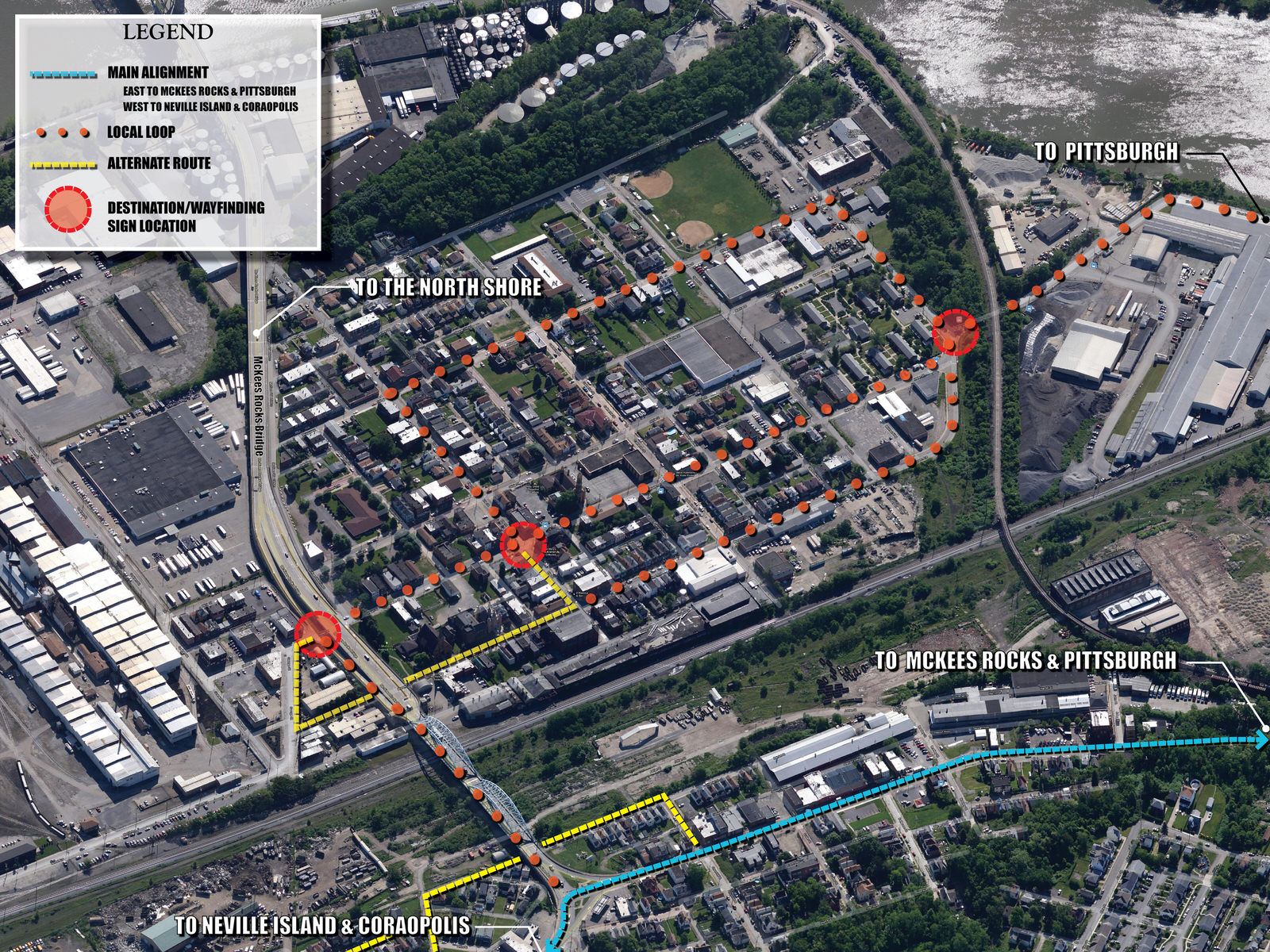
The project corridor included an on-road and off-road solution, along the Ohio River, from Pittsburgh’s Station Square to the town of Coraopolis and the Montour Trail.
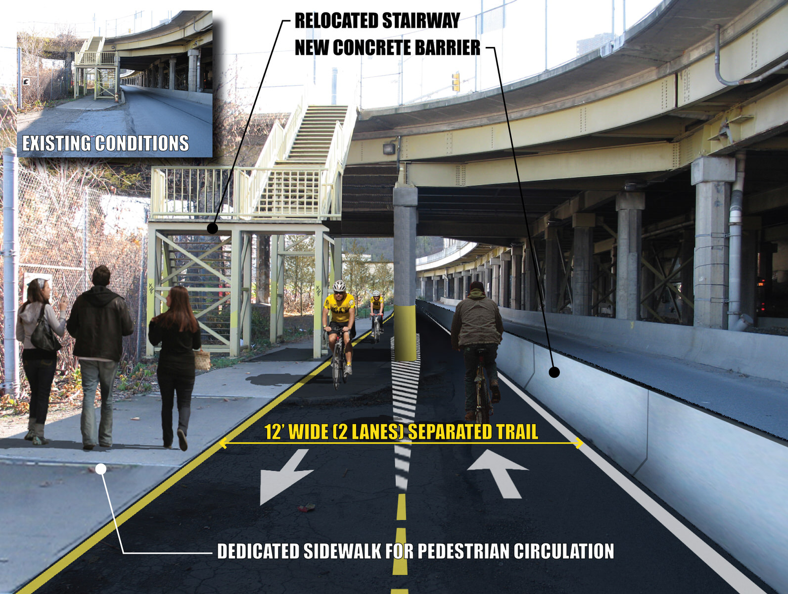
Mackin’s trail team completed a 1-day bicycle ride through the corridor to conduct field investigations for the project. This was important to evaluate metrics, and factor-in user experience with the BLOS for most trail users. We also completed a series of public meetings, stakeholder interviews, and agency and officials meetings to gather public input and support. The final plan proposed a two-way cycle track along Pittsburgh’s busy West Carson Street, between Station Square and McKee’s Rocks, and on-road routes along lesser traveled roadways to connect the Ohio River Trail, the Montour Trail, and west end commuter cycling routes to the City of Pittsburgh.


